Not There Yet
/After two days of intermittent rain showers and fog, we woke up to this view and a temperature of 32 degrees. The lake is looking much darker, and I love how the change in light can give it such a different perspective.
As we’ve been watching the decline in the ice, we are limited to what we see down in front. In the absence of drone-capability, we mused on what the overall conditions might look like from a higher perspective. Inspired by the blue sky and sunshine, I decided to take a hike up to the South Rim. Let’s take a west-to-east tour of the lake via photos from the overlook above our place.
Looking as far west as I could see from my vantage point. This area often opens first, given the warm waters of the Cross River flowing in.
I can see some open water near shore on the Canadian side, but there is no sign yet of ice piling up.
The bay behind the point across from us is opening up nicely.
Looking to the northeast, it is interesting to me that the blackest ice is on the south side. Generally speaking, the north shore sees more sunshine, hence warming and melt. Will this be a year when we see the ice go out without reaching that “mostly black” and rotten state?
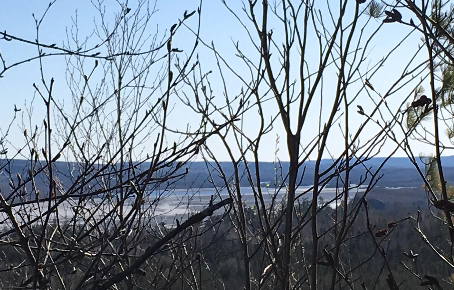
Photographing the east end is a little tricky from this spot, with trees in the way. Still, I was able to see some open water. This correlates with Greg’s venture down to the east end a week or so ago. He said that the northeast-most corner of the lake was opening up, due to a drainage from a small pond up that way. That appears to have opened the lake all the way to Wartner’s bay.
And finally, a panoramic view. I can’t really see any open water in this overall view, since it is mostly found at the ends and edges.
As you can see, we have a bit of a ways to go yet before anyone is able to reach the east end. But if someone wants to make their way into Magnetic, that looks like it may be possible. We’ll keep an eye on things and keep you posted!


